
Top Hikes to Take at Holly River State Park
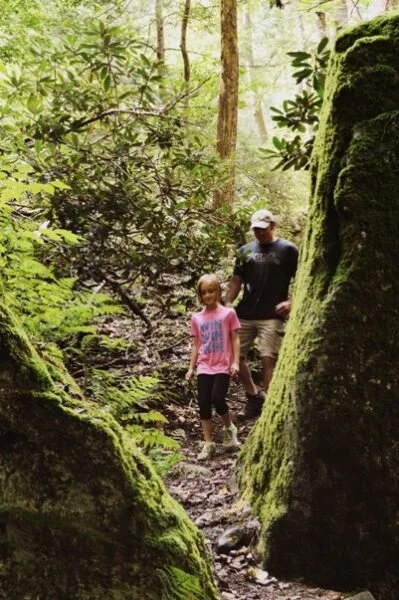
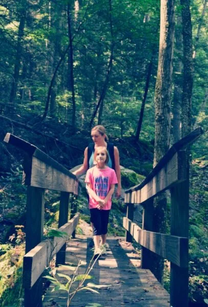
Images of untamed, pristine wilderness are among some of the first thoughts that resonate with those that find themselves enveloped in the reaches of Webster County. Its beauty knows no bounds when it comes to aesthetics of thick wooded peaks and valleys – speckled with rock faces and falling waters. Spread out across a staggering 65,000 acres of the Monongahela National Forest, Webster County is home to a network of blazed hiking trails that range from the Sunday afternoon romp around to those that require a bit more gusto to tackle. We’ve listed some of our favorite stomping grounds that we think make for a good day well spent at Holly River State Park. Happy Trails!
SALT LICK TRAIL
Walking Distance: .75 miles
Blaze: Orange
Beginning with a slight climb from Cabin No. 9, this easy walking trail winds around the mountain through a young forested area and leads to some of the oldest and largest trees in Holly River State Park. The trail descends to the island in the picnic area and ends at the campground. Perfect for a stroll after setting up camp!
HIGH ROCK TRAIL
Walking Distance: 1.5 miles
Blaze: Orange
Starting from the foot bridge below cabin No. 9, the trail begins with a steep climb around a mountain, leading to a high tabletop rock on the ridge summit. The ridge is dominated by gorgeous mountain laurel, flame azaleas, and oak trees. The trail follows the ridge and descends to the mouth of Big Run and ends at the campground entrance.
TRAMONTANE TRAIL
Walking Distance: 2.5 miles
Blaze: Yellow
Beginning at Cabin No. 9, this trail winds through a large forested area and out into the fields of an old homestead. From this point, the trail takes hikers to a high ridge overlooking the upper valley and headwaters to the left fork of Holly River. At approximately 2.3 miles, look for Mystic Falls, the hidden waterfall of Holly River State Park. The trail then descends into a dry run and on to its ending point at the picnic area.
WILDERNESS TRAIL
Walking Distance: 4.5 miles one way
Blaze: Blue
Ascending the mountain through the high country glens across Crooked Fork and into a remote area of the park, this trail guides hikers from Cabin No. 9 to the former site of the fire tower. Backtracking is necessary to reach the original trail. Returning to and heading down Crooked Fork, the trail joins Laurel Fork and continues downstream, ending at Cabin No. 1.
POTATO KNOB TRAIL
Walking Distance: 7.5 miles one way
Blaze: Red
Branching off from Wilderness Trail, this trail follows a ridge to Ridge Road, joining the road for a half mile and then descends the mountain through a grove of exceptionally large trees. A short side trail on the Ridge Road offers a view of Tenskwatawa Falls. Crossing Fall Run Road, the trail circles around the southern side of Potato Knob to The Chute. From here it is a steep ascent to the summit of Potato Knob.